In 2008, Barack Obama soared into the presidency on a surge of hope and optimism in the electorate—and with no small part played by his campaigns savvy approach with big data. That was a first for a major political party in the U.S., and it was a watershed moment in the use of big data in political campaigning. In 2016, the landscape feels markedly different (to put it mildly), and politicians on both sides of the aisle are relying heavily on technology and insights to help get out the vote. This time, though, it’s location intelligence that political parties are looking to leverage to edge over the opposition—specifically, xAd’s Blueprints.
Blueprints is xAd’s (now called “GroundTruth”) patent-pending technology that generates precise geographical boundaries around key businesses and points of interest. By combining these “Blueprinted” areas with location signals passed through ad requests, xAd can determine foot traffic behavior—data that can be used to target mobile advertising spend based on a consumer’s past and present location. However, unlike retailers, political parties aren’t interested in xAd’s technology to drive people in-store. Instead, they are trying to raise awareness, engage voters to donate, and get people to vote.
But how do they do that?
The first step is to build the right audience. Currently, political parties are armed with tons of first-party data on its voters. When combined with location intelligence, political parties can create incredibly robust profiles to identify and serve more relevant messaging to likely supporters. For instance, a party could provide xAd with a list of locations it’s interested in targeting, such as businesses that may attract like-minded voters or geographical areas in critical swing and down-ballot states. xAd also has the ability to create custom boundaries for temporary events like political conventions, and even less tangible spaces like congressional voting districts.
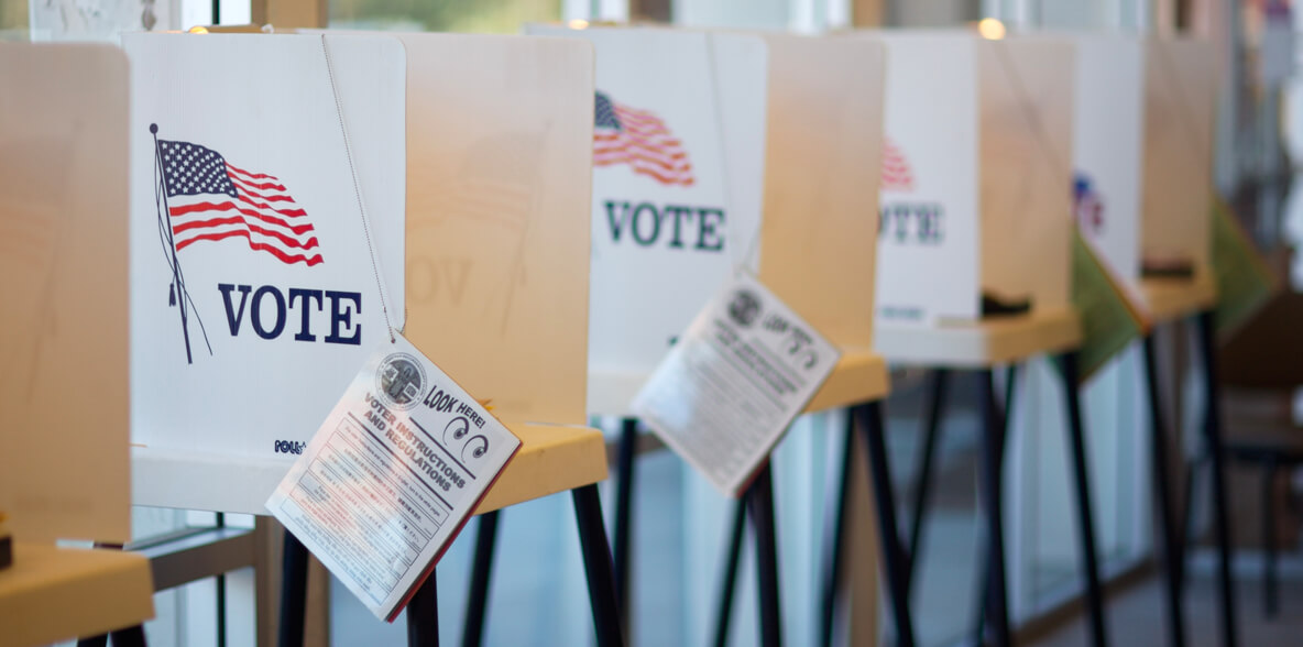
xAd can also include traditional audience data—likely voters, people who share similar beliefs, and so on—in the overall campaign targeting. All of this enables political parties to construct real-time voter profiles at scale, creating efficiency while moving them closer to their ultimate goal: getting people to the polls. In fact, on Election Day, supporters can be re-targeted with messaging showing the nearest voting locations, hopefully giving them that extra push to walk through the polling doors.
The final step is to measure the impact of the campaign and voter turnout. In the same way that xAd measures foot traffic to business locations, xAd’s location data can tell each party how many people were served an ad for a political campaign, and how many of those people showed up to vote, closing the “ROI loop” for political parties.
So why is this so important?
Point-of-interest audience building, targeting, and measurement through location and mobile advertising is enabling campaigns to reach and influence the best audience at scale, saving time and money. Like Obama in 2008, campaign managers and digital teams of today could carve out a name for themselves by pioneering an innovative strategy that heralds a new and exciting direction for location intelligence. Win or lose, each party is gaining valuable insights that are applicable for years to come.


