Last month, GroundTruth hosted its second annual mapathon to support The Humanitarian OpenStreetMap Team (HOT). Once in a while, an organization comes along with a mission and the technology that promises to create change, and even save lives. It’s my assertion that this organization, HOT, is one of them. Their remarkable pursuit in using location data to transform humanitarian responses to the most crisis-prone countries around the world have made them the top of their field. Their recognition by organizations such as The Red Cross, Doctors Without Borders, and the UN High Commissioner for Refugees (UNHCR) as a partner is a true testament of their work. HOT’s Missing Maps project, a program in which individuals, teams, and companies are encouraged to come together to chart these “forgotten places” of the world. With this data, NGOs and first responders can respond to disasters more expediently and effectively.
As a location-based platform company, we know first hand the value location mapping and context can bring
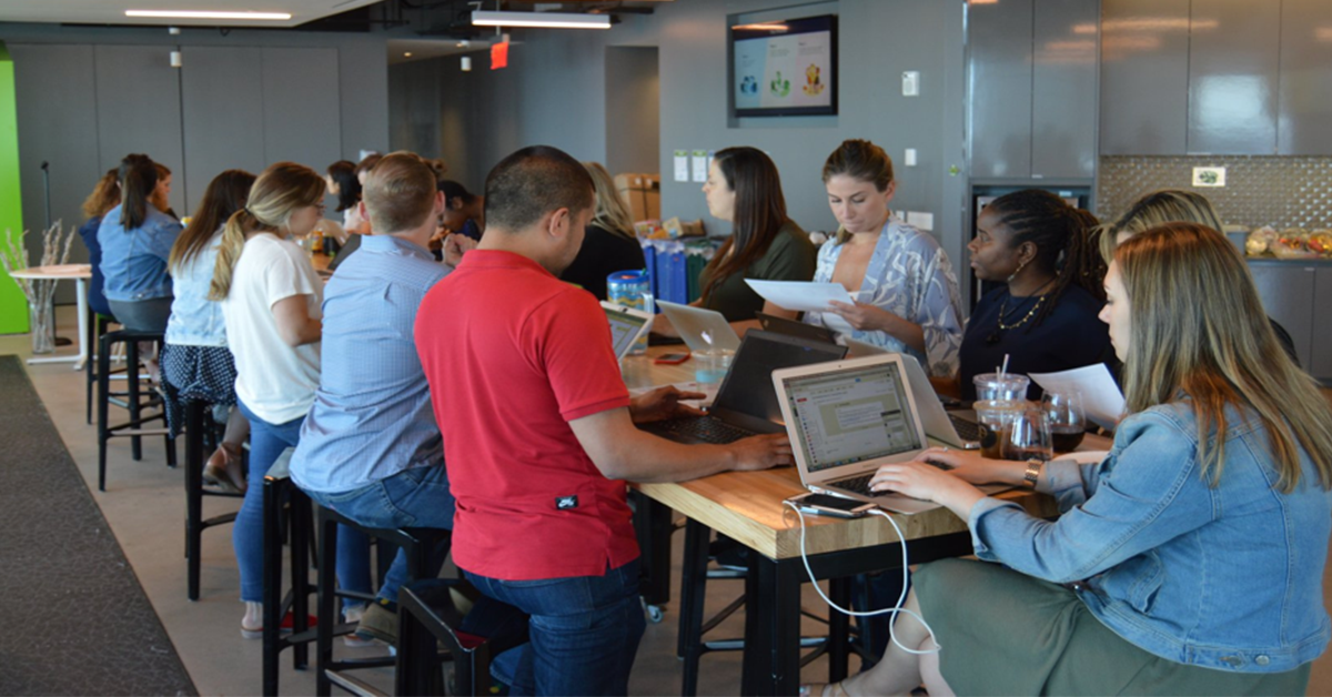
As a location-based platform company, we know first hand the value location mapping and context can bring, which made bringing HOT and Missing Maps to our office a natural fit for GroundTruth. Over the course of one day, we hosted a global mapathon in which over 60+ employees across six of our offices gathered to map unmarked roads and buildings in Uganda—a country currently going through a devastating refugee crisis. Volunteers spanned our Las Vegas, New York, Mountain View, Chicago, India, and U.K. offices.
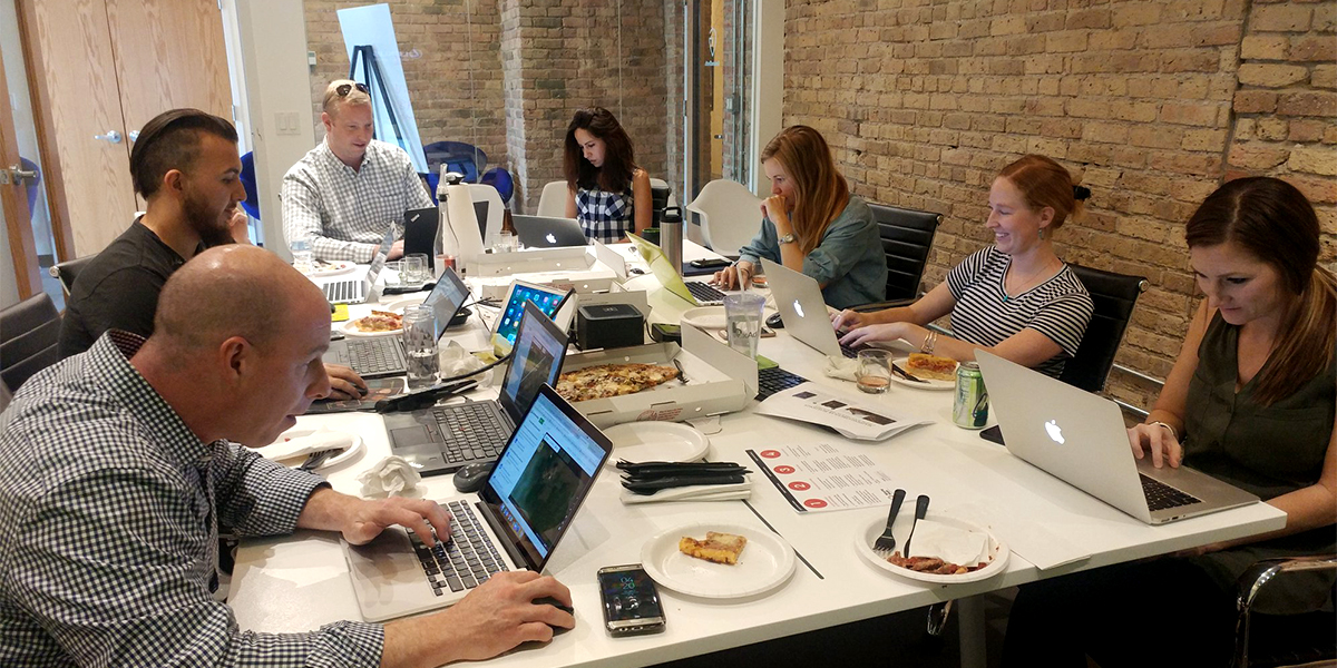
Together, we learned how to map and validate locations in uncharted areas and log them onto the same location map systems that disaster responders and nonprofits use. In total, we mapped 4,814 buildings and over 7 Kilometers of roads, with our India team logging in a staggering 1,700 mapped buildings.
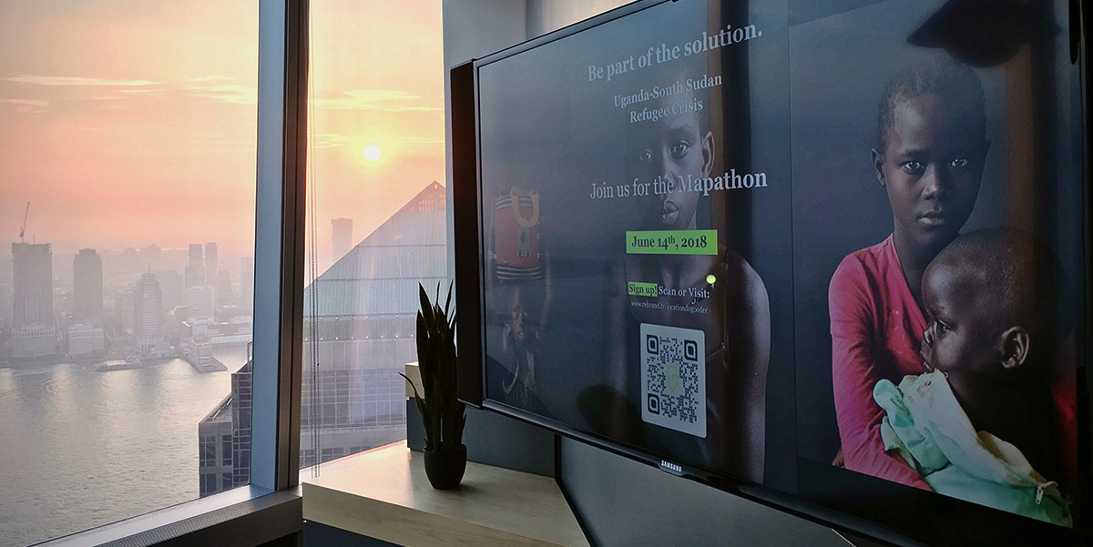
In addition to volunteering our time at the mapathon, GroundTruth employees raised money for HOT through social media fundraising and a ‘sponsor a room’ project, which encouraged visitors to donate by scanning QR codes on TVs around our offices. In total, we raised $2,641, 5% above our $2,500 goal. An accomplishment that couldn’t have been met if it wasn’t for the passion and generosity of GroundTruth employees!
GroundTruth and Location for Good
Much like HOT, GroundTruth also utilizes location mapping and technology for good. Over the years, we’ve been able to support a number of nonprofits and other “for good” programs through our Location for Good program. Since its formation after the devastating impact of the Nepal Earthquake in 2015, we’ve driven significant results for organizations through the use of pro-bono location-based mobile campaigns. Nonprofits such as Oxfam America, The American Red Cross, Taco Bell’s Live Más Foundation, The Federation of Internet Alerts (FIA), and The Ad Council have all benefited from our Location for Good program. Moreover, this month’s mapathon with HOT and their Missing Maps program is another great collaboration we hope to do again next year.
How you can get involved
GroundTruth is one of the many companies, schools, nonprofits, and groups who have tried out Missing Maps. If you are interested in reading more, and hopefully bringing Missing Maps to your school or workplace, go to https://www.missingmaps.org or https://www.hotosm.org/.